Identifier:
CA-15
Printer:
Johan Blaeu
Place of Production/Printing:
Holanda
Date of Production:
c. 1660
Date of Publishing:
c. 1664
Archive/library:
UBU UniversiteitsBibliotheek Utrecht Utrecht UB: MAG: AC 62-70 (Rariora)
Place Depicted:
Bahia
Material Description:
Impresión calcográfico en papel, coloreado posteriormente
Observations:
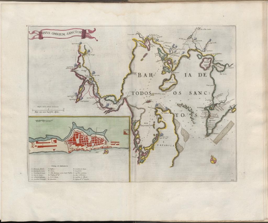
Mapa de la Bahía de Todos los Santos publicado en la edición neerlandesa del Altas Maior. El mapa muestra los elementos naturales adyacentes a dicha bahía y la ciudad de Salvador. En el inferior izquierdo, un acercamiento a la ciudad de Salvador de Bahía con sus principales componentes.
Related Persons:
Documentary References:
How to quote this entry:
Loves, Freek. "Grooten atlas, oft, Werelt-beschryving, in welcke 't aertryck, de zee, en hemel, wordt vertoont en beschreven deel 8, Bahía de Todos los Santos". In: BRASILHIS Database: Personal Networks and Circulation in Brazil during the Hispanic Monarchy (1580-1640). Available in: https://brasilhis.usal.es/en/node/9452. Retrived on 25/04/2024.


