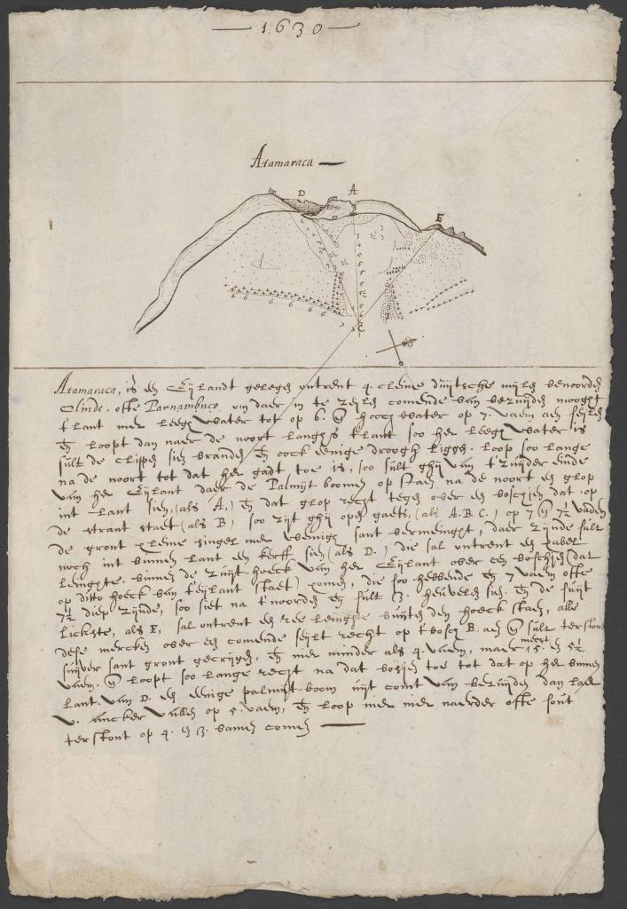
Identifier:
CA-223
Date of Publishing:
1630
Archive/library:
Nationaal Archief, 704, Groot 0.39 - 0.25 EL. Manuscript
Observations:
"Mapa de Eyland Atamaraca, ubicado a unos 4 cleyne Duitsche Mylen al norte de Olinde ofte Parnambuco, etc. Facsímil del Gran Atlas de la Compañía de las Indias Occidentales, parte I, p. 219 (con direcciones de navegación)."
How to quote this entry:
Luz, Priscyla M.. "Kaart van het Eyland Atamaraca, gelegen omtrent 4 cleyne Duitsche Mylen benoorden Olinde ofte Parnambuco enz". In: BRASILHIS Database: Personal Networks and Circulation in Brazil during the Hispanic Monarchy (1580-1640). Available in: https://brasilhis.usal.es/en/node/12916. Retrived on 24/04/2024.


