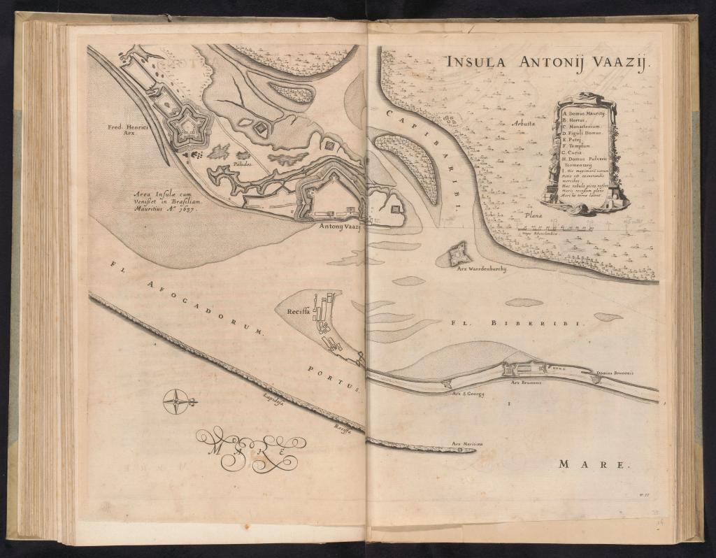
Identifier:
CA-197
Printer:
Jan van Brosterhuyzen
Place of Production/Printing:
Amsterdam
Archive/library:
Rijksmuseum, FMH 1822-[33], BI-1892-3415-35
Material Description:
height 393 mm × width 500 mm
Observations:
"Mapa de la isla de Antonio Vaz frente a Recife, mostrando las fortalezas Frederik Hendrik, Ernest y Waerdenburgh, c. 1636-1644. Lámina [nº 33] de una serie de 55 representaciones del viaje y estancia en Brasil del Conde Johan Maurits van Nassau en los años 1636-1644". Impreso por Jan van Brosterhuyzen y publicado Johannes Willemszoon Blaeu entre 1645-1647 y posible autoría de Georg Marcgraf.
Documentary References:
How to quote this entry:
Luz, Priscyla M.. "Insula Antonij Vaazij". In: BRASILHIS Database: Personal Networks and Circulation in Brazil during the Hispanic Monarchy (1580-1640). Available in: https://brasilhis.usal.es/en/node/11986. Retrived on 24/04/2024.


